The Southmost Nature Trail you know is really two trails. There's the original 1.75-mile path between Porter High School and Del Castillo Elementary. Then there's a 0.72-mile spur running from near the Southmost Branch Library to La Posada Drive. Brownsville's next round of work sets out to make them one corridor. The City's planners aren't framing Phase III as a longer workout. Their stated aim is a trail that gets Southmost residents to the library, the park and school on foot, and later on to the Historic Battlefield Trail toward Los Fresnos.
Two Segments, Built Five Years Apart
The City lists Phase I as a 1.75-mile concrete multi-use path. It runs from 3259 Southmost Road to 3720 International Boulevard and connects Porter High School with Del Castillo Elementary. Along the way you'll find a bike repair station, bike racks, pergolas, benches, picnic tables and wayfinding signs. The City cut the ribbon at the Burton Drive entrance on May 31, 2017.
Phase II came next, and it doesn't extend Phase I. It's a separate 0.72-mile stretch from near the Southmost Branch Library on Manzano Street to 1325 La Posada Drive. The state accessibility record for the project lists concrete paths, curb ramps and a water fountain, with construction running from September 2021 to November 22, 2022.
Add the two together and Southmost has about 2.5 miles of finished trail. They read as two different places, though, not one route. Phase I ties two campuses together. Phase II ties the library to a residential street. Nothing built so far connects the library to the longer path.
That gap explains most of what comes next.
Phase III Is a Loop
KRGV reported on September 4, 2026 that Phase III will add a loop around the Southmost Public Library and improvements around Morningside Park. KRGV's piece opened by saying city leaders see the project "about more than adding distance." Their long-term goal, the station reported, is easier access to "everyday destinations like schools, parks, and the library."
The money is in motion. The Brownsville City Commission's September 1, 2026 agenda included an item to award contract number 141-26-BMT-IFB to 2GS LLC dba Earthworks Enterprise. The contract is worth $1,539,579 for Southmost Nature Trail Phase III, "as budgeted," under the Multimodal Transportation department. A meeting summary on My Texas Record lists the item as approved 7–0. That site notes its summaries are AI-generated and may contain errors. KRGV said construction "could soon begin," and its report gave no start or completion date.
City Manager Alan Guard's September 11 update at Friday with the City put "additional phases of the Southmost Nature Trail" on the list of quality-of-life projects moving ahead. That list also included the Monte Bella Park Trail and West Rail Trail amenities. In the City's community survey, which drew nearly 1,000 responses, residents named parks and trails as one of the areas where Brownsville had made progress.
The Phases at a Glance
| Phase | What it adds | Status, as of late October 2026 |
|---|---|---|
| I | 1.75 miles, Southmost Road to International Boulevard, Porter High School to Del Castillo Elementary | Open since May 2017 |
| II | 0.72 miles, Manzano Street near the Southmost Branch Library to 1325 La Posada Drive | Completed November 2022 |
| III | Loop around the Southmost Public Library, improvements around Morningside Park | $1,539,579 contract before the Commission September 1, 2026, listed as approved 7–0 in a meeting summary; KRGV gave no start date |
| IV | Sidewalks from La Posada Park through neighborhoods to two schools on Southmost Boulevard | Planned |
| V | Connection toward the Historic Battlefield Trail | Planned |
Phase IV fits the same pattern. Per KRGV, it focuses on sidewalks, not a new recreational path, connecting La Posada Park through neighborhoods to two schools along Southmost Boulevard. So Phases III and IV, taken together, mostly fill in short gaps between places people already go.
A Second Route on the City's Books
There's another description of the expansion on record, and it points in a different direction. In a February 10, 2026 release, the City said the trail "will be expanded southward to reach Expressway 77." The planned route would run from near Porter High School along 14th Street, then Roosevelt Street, then down to McDavitt Street. Design was scheduled to begin in March, as part of the City's $215 million Capital Improvement Plan.
That route doesn't match the library loop and Morningside Park work KRGV described seven months later. The two may describe different segments of the same long-range plan. The City hasn't published a single map showing how they fit together. If you live along 14th, Roosevelt or McDavitt, the February release is the document to keep an eye on.
Why the Planners Call It a Spine
Here's how Senior Bicycle and Pedestrian Planner Eva Garcia described it to KRGV:
"The idea is to connect the southernmost part of the city of Brownsville to the historic Battlefield Trail, which is a mile shy from the city of Los Fresnos."
KRGV reported that officials made the Southmost Trail a priority investment because Southmost is one of the most densely populated communities in the region. As the phases come together, the goal is what Garcia describes as a spine the City can eventually build more connections off of.
The Battlefield Trail is the destination that makes the spine matter. Visit Brownsville describes it as a 10.1-mile route of asphalt and boardwalk between East Harrison Street and Paredes Line Road, also known as FM 1847. It runs from central Brownsville through Palo Alto Battlefield National Historical Park toward Los Fresnos. Once Phase V is built, today's 2.5 miles of Southmost path would feed into a corridor about four times as long that passes through a national park site.
Using the Trail While It Grows
None of the planned phases change how the existing path works today. TrailLink lists Del Castillo Elementary School at 105 Morningside Road as a parking access point. The Burton Drive entrance, where the City held the 2017 ribbon cutting, is another way onto Phase I. If you want the water fountain, it's on the Phase II segment toward La Posada Drive.
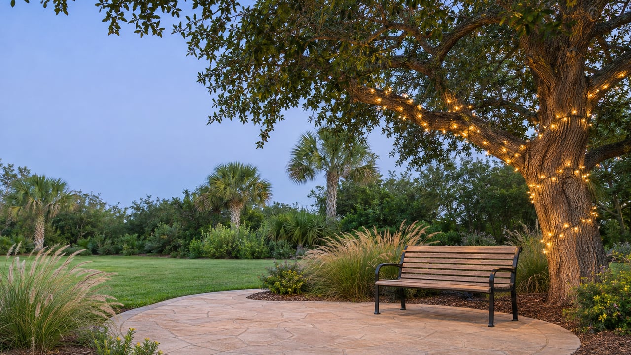
Evening walks were part of an earlier upgrade plan. In December 2024, the City announced 247 bollard-style solar lights along the stretch between Rosa Del Castillo Elementary and Porter High School. The $200,000 project went to Engo-Planet Solutions, with installation expected to take about six months. Christopher Nelson of the City's Multimodal Transportation Department said in the City's December 17, 2024 release that the bollards "light up the trail but still preserve the natural feel."
If you're out on the trail or running errands on Saturday, November 7, plan around the parade. The City is closing a main Southmost artery for the 26th Annual Veterans Day Parade:
- Road: Southmost Boulevard, from International Boulevard to East 30th Street
- When: Saturday, November 7, 2026, beginning at 2 p.m.
- Approved by: the Brownsville City Commission at its October 6 meeting, with the City sponsoring and assisting the event
International Boulevard is also where one end of Phase I sits, according to the City's facility listing. The City asks motorists in the Southmost area to allow extra travel time and use alternate routes while the closure is in effect.
The next item to watch is the first Phase III construction notice from the City's Multimodal Transportation department. That's when the library loop and the Morningside Park work go from agenda line to fenced-off work zone.
At Blue Heron Realty, we follow the projects that change daily routines in Southmost, from a new loop around the library to sidewalks that reach the schools on Southmost Boulevard. If you're curious how the trail's growth fits into your corner of 78521, reach out. Make every move the right one.